


On the trail…
Crossing Charlevoix, one step at a time.
On the trail…
Crossing Charlevoix, one step at a time
Sentiers Québec-Charlevoix tempts us to cross the region by the power of our legs alone, by hiking new trails through woods, by scaling summits, and by braving the topography of a region that could easily brag of itself as a hiker’s El Dorado!
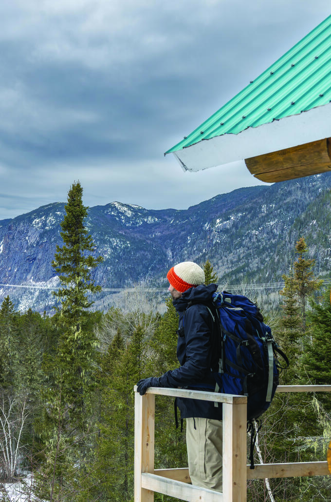
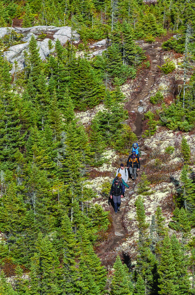
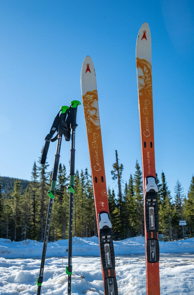
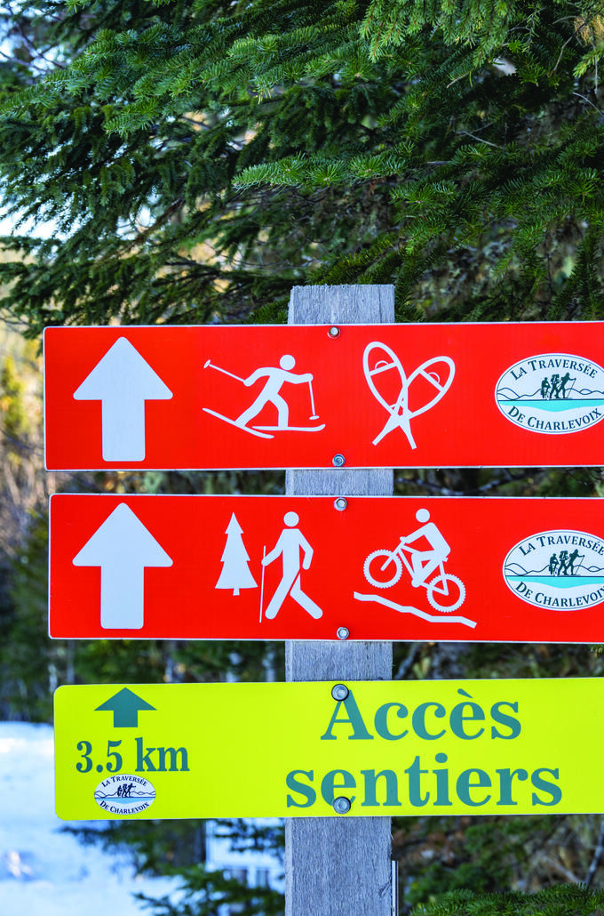
Are you a pro at long hikes? To celebrate the Traversée de Charlevoix’s 45th anniversary, the organization set itself the challenge of extending its mythic trail by joining up with the Orignac trail in Saint-Siméon, stretching the total trail length to 127 km, from 105 km. Moving through various ecosystems, this genuine personal challenge is a trip from the mountains to the sea (the St. Lawrence River, anyway) that takes approximately one week, made easier by the presence of shelters, including a new Uapishtan cabin, and by arranged luggage transportation. It’s a real boreal forest adventure that experienced hikers can enjoy, at any time of year. The Nordic skiing expedition package is offered in the winter. This “great crossing” can also be broken up, with an option to enjoy the experience in a less intense, shorter (2- or 5-night) version, with routes such as Mont Grand-Fonds to Saint-Siméon or from the Parc national des Hautes-Gorges to the river.
Hiking aficionados:
To adventure!
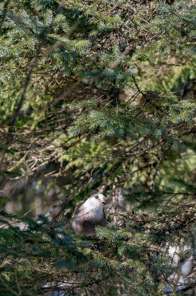
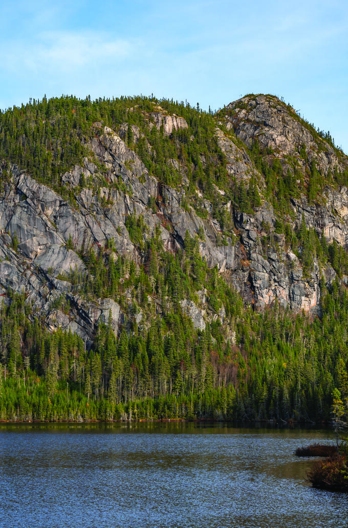
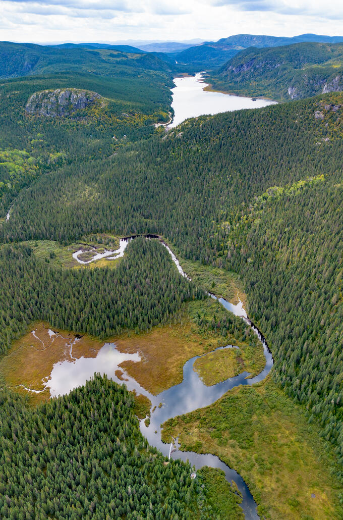
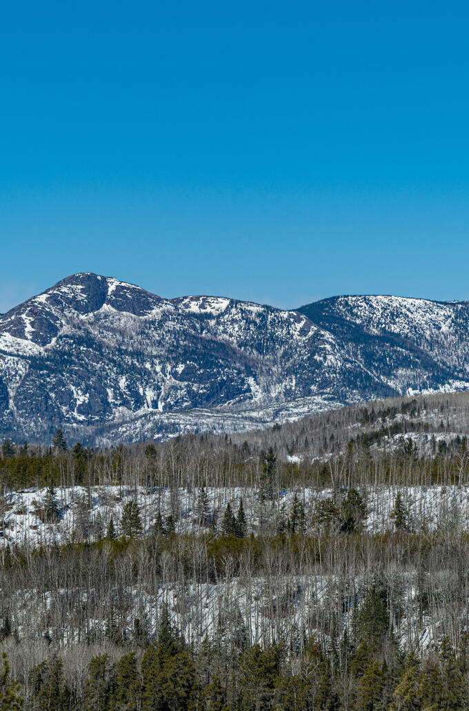
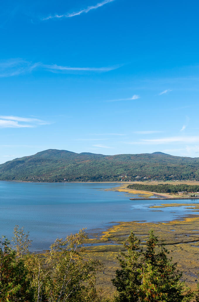
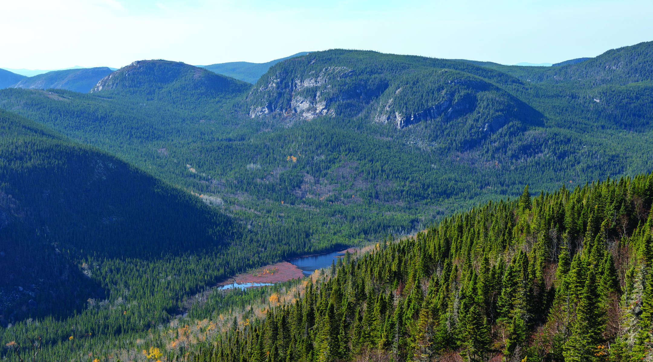
While a multi-day adventure may not be within everyone’s reach, more accessible day-hike routes allow you to get an eyeful of the Charlevoix backcountry, its fauna, and its flora - all the while exercising your muscles. You can do this on a little-known but beautifully wild trail, a section of the Orignac trail: the montagne des Taillis mountain hike. Accessible via St.-Siméon and the grounds of the ÖBois Charlevoix tourist lodgings, this 16.2 km trail crosses a maple grove and offers a clear view towards the river and the valley in which the Palissades mountains can be found. In an entirely different corner of Charlevoix, the sentier du dôme [Dome trail] provides 7.8 km of hiking, to allow hikers to explore the mountain of the same name. This area, well known by experienced climbers, can be reached via Route 381, near Lac-des-Cygnes mountain. Here, a forest burned by fire is in the process of full regrowth. Here, you can gaze at the city of Baie-Saint-Paul and the St. Lawrence River estuary. You can even sleep here, in shelters with names like Taïga or Eudore. And from here, you can access other short wilderness hikes.
The Traversée de Charlevoix, a section of the Trans-Canada Trail administered by Sentiers Québec-Charlevoix, provides access to the vast forested land of this area. It’s a genuine invitation to adventure!